Leveraging Data to Drive Informed Decisions for Watershed Health
Explore the diverse data sources that power the Dex-Terity platform, enabling comparative analysis and predictive modeling. Spanning from local to federal, these datasets include water quality metrics, land use and land cover, pollutant releases, demographic information and more! By leveraging open and accessible data, DeX-Terity supports informed decision-making and infrastructure planning, and the adoption of improved watershed management practices.
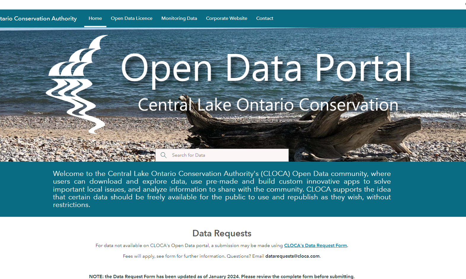
Central Lake Ontario Conservation Authority Open Data Portal
Central Lake Ontario Conservation Authority's (CLOCA) Open Data portal allows users to download data and use pre-made and custom built innovative apps to solve important local issues. This dataset includes metrics on water quality, land cover, hydrology, and other factors.

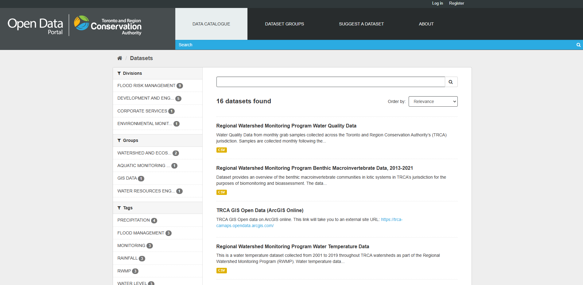
Toronto and Region Conservation Authority Open Data Portal
The Toronto and Region Conservation Authority’s (TRCA) Open Data portal offers public access to a range of data related to conservation and watershed management. Users can find geospatial data along with that related to precipitation, flood management, aquatic monitoring and fish populations.
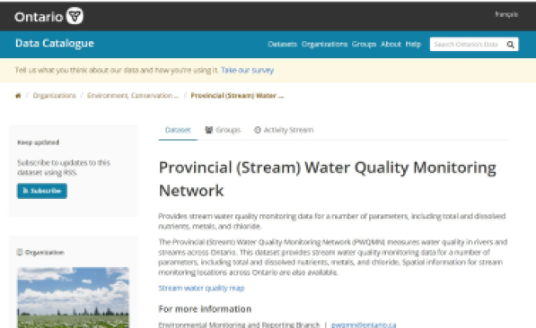
Provincial Water Quality Monitoring Network
The Provincial (Stream) Water Quality Monitoring Network (PWQMN) collects water quality data from rivers and streams across Ontario. This dataset includes parameters such as total and dissolved nutrients, metals, and chloride, along with spatial information for water monitoring locations.
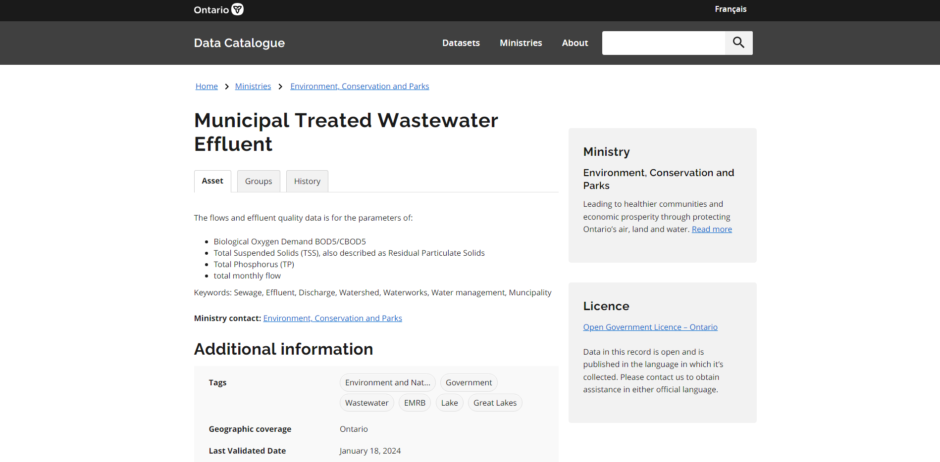
Municipal Treated Wastewater Effluent
The Municipal Treated Wastewater Effluent dataset, available through Ontario’s Data Catalogue, provides information on the treatment of wastewater by municipalities across the province. This dataset includes metrics such as effluent discharge volumes, effluent quality indicators (e.g., Total Phosphorus, Total Suspended Solids etc.), and compliance with regulatory standards.
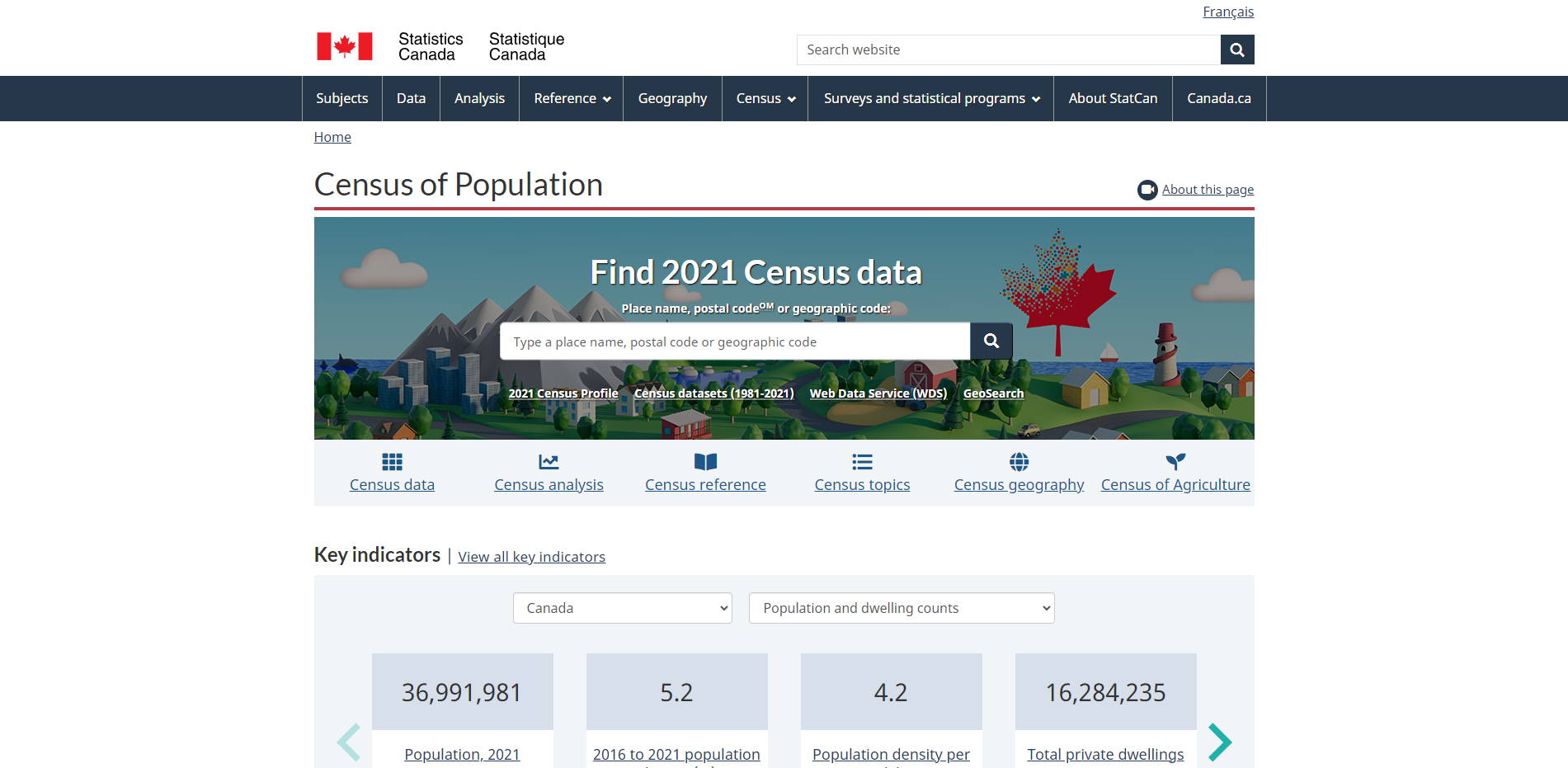
Statistics Canada’s Census of Population
Statistics Canada’s Census of Population provides comprehensive data on demographics, housing, and socioeconomic characteristics across the country. Topics include population, age, sex at birth and gender, dwelling types, family and household structures, income, education, Indigenous Peoples, mobility, migration, labour, commuting, and more — as measured through the Census Program.
Environment and Climate Change Canada’s Historical Climate Data
Environment and Climate Change Canada (ECCC) provides historical weather and climate data for numerous locations across the country. This dataset includes metrics such as temperature, precipitation, degree days, relative humidity, wind speed and direction, as well as monthly summaries, averages, and extremes.
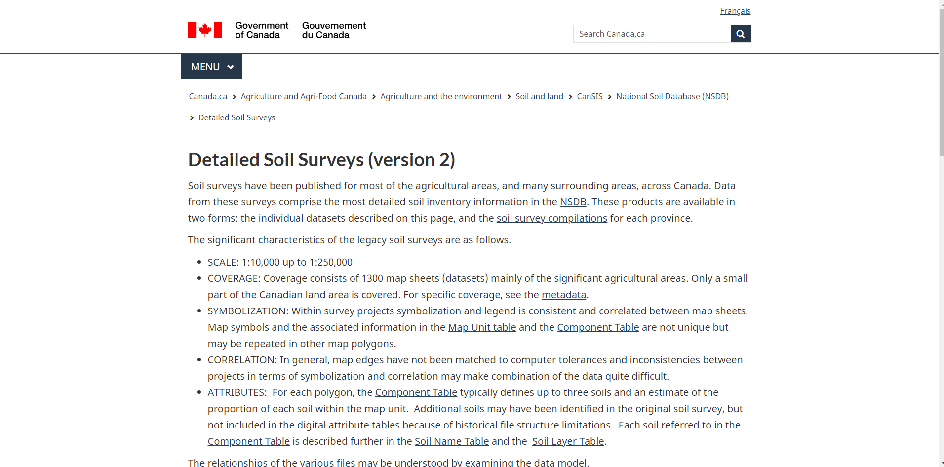
Agriculture and Agri-Food Canada’s Detailed Soil Survey
The Detailed Soil Survey (DSS) from Agriculture and Agri-Food Canada provides data on soil characteristics, classifications, drainage, texture, agricultural capability, and land use potential. Soil surveys have been published for most agricultural and surrounding areas across Canada.
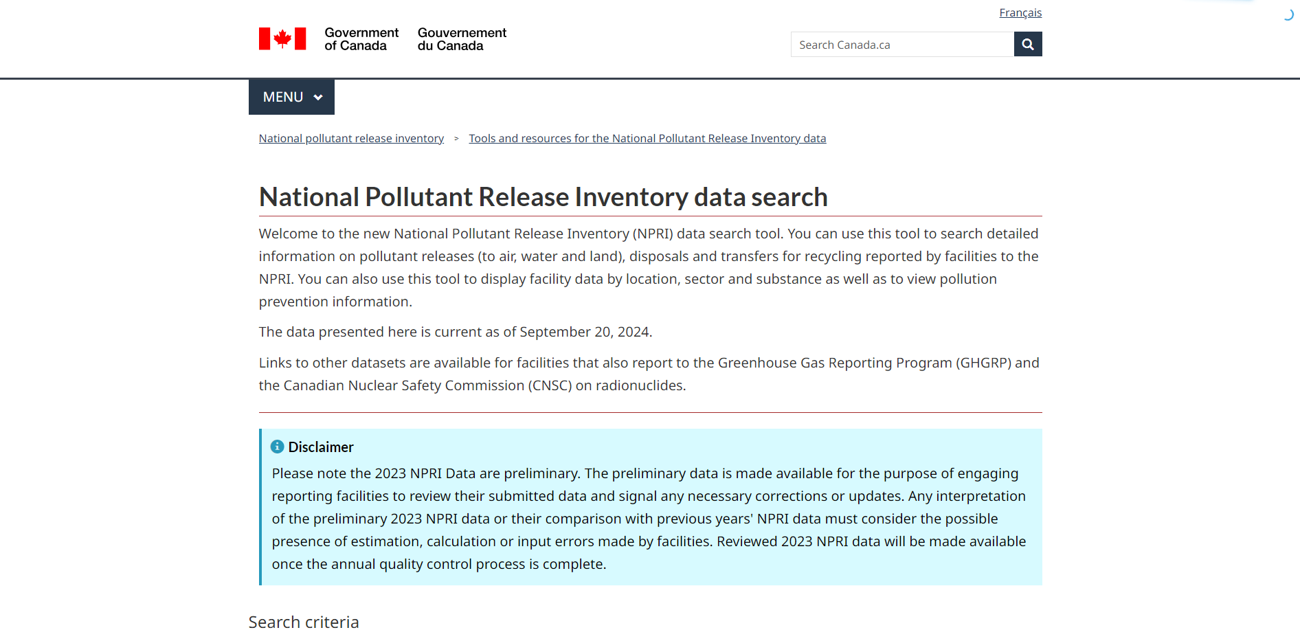
National Pollutant Release Inventory (NPRI)
The National Pollutant Release Inventory (NPRI) provides detailed information on pollutant releases (to air, water and land), disposals and transfers for recycling, as reported by facilities that meet federal reporting criteria. Data is available by facility location, sector, and substance. The NPRI tracks over 300 pollutants from more than 7,000 facilities across Canada.
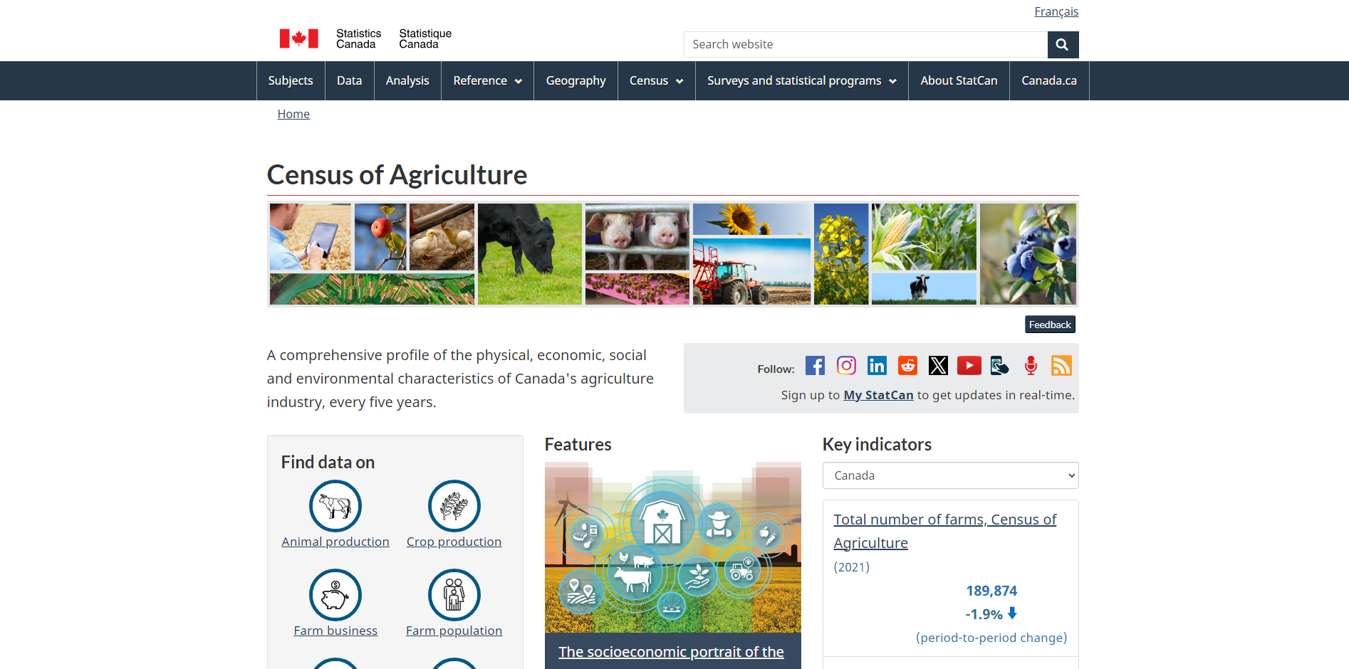
Statistics Canada’s Census of Agriculture
The Census of Agriculture provides a comprehensive profile of the physical, economic, social and environmental characteristics of Canada's agriculture industry. The dataset includes a wide range of data, such as the number of farms and farm operators, farm area, farm size, farm type, land use, crop areas, land management practices, livestock inventories, business operating arrangements, and more.